
Content block block-963449989-1774669980
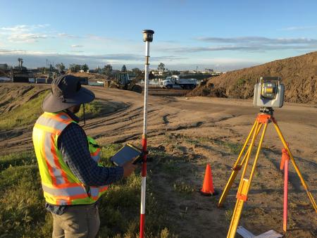
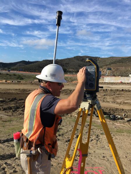
The Field Survey Section performs this array of surveying tasks utilizing some of the most efficient, technologically advanced equipment available. Robotic Total Stations and Global Positioning Satellites (GPS) receiver units are used in conjunction with data collection and construction staking software which enable timely, accurate and cost effective delivery of survey information.
Responsibilities
| Alignment Analysis | Control Surveys | Legal Descriptions | Topographic Surveys |
| Boundary Analysis/Mapping | Deformation Surveys | Mapping, Exhibits and Reports | Volume/Quantity Calculations |
| Construction Surveys | GPS Surveys | Monument Preservation/Corner Records | |
| Monitoring Surveys | Hydrographic Surveys | Photogrammetric/LiDAR Control Surveys |
Survey data collected in the field is processed by the Boundary Analysis and Computer Processing Units of the Survey Field Section. Maps and reports, both paper and digital are prepared for use in OC Public Works design and construction projects, flood control studies, deformation monitoring studies, cadastral and/or control adjustments, and many other evidentiary purposes.
This information is compiled into record information filed in the County G.I.S./L.I.S. for use by the general public and the surveying/engineering community.
Go to Downloadable Documents to find copies of the Construction Staking Guide and OC Survey Standards Manual.
FAQs
Further information pertaining to Field Surveys can be found in our FAQs. If you have questions that are not covered in this list provided, please feel free to contact us. Please take the time to provide us your information and the questions that you may have clearly.