
Content block block-1920116548-1774240531
Geospatial Data Products
OC Survey is distributing various Geospatial data sets that have been produced and distributed by the United States Geological Survey (USGS) as well as a few products created by the OC Survey Geospatial/Geodetic unit. These data sets are used to support the USGS National Elevation Dataset (NED) and FEMA Floodplain mapping. These data sets and products can be valuable resources for various planning and analysis activities such as hydrological, slope, elevation, etc. OC Survey provides no warranty, expressed or implied, as to the accuracy, reliability, or completeness of the furnished data.
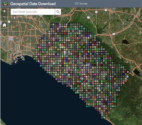
Click on the image above or here to download our Geospatial Data.
Please read the “Geospatial Data Details” pdf file which explains what data products are available and how to download.
Questions or comments?